
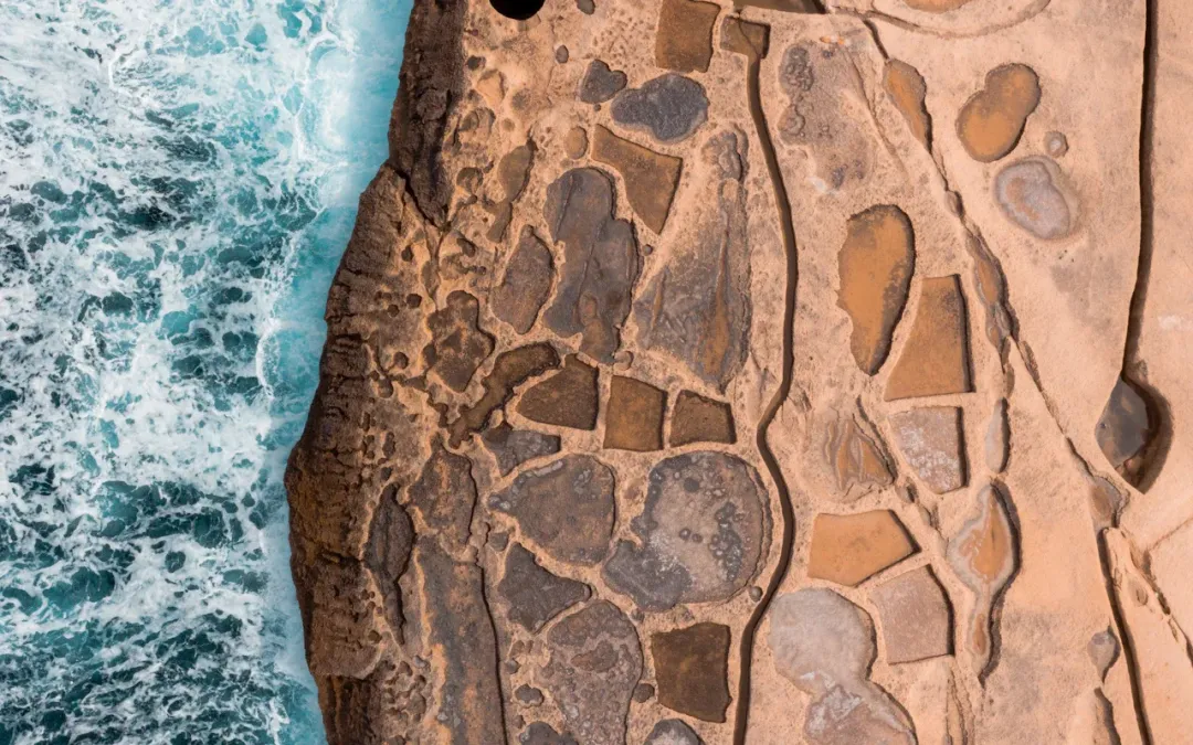
Hidden should never mean unrestricted
Some of Gozo’s most interesting corners sit beside working farms, private homes, fragile salt pans, cliff edges or historic structures that are not always open. Stay on public roads and established paths, respect signs and gates, never enter a closed building, and leave every place exactly as you found it.
Gozo’s headline attractions deserve their reputation, but they are only one layer of the island. Beyond the familiar beaches, temples and postcard viewpoints are telegraph towers, tiny chapels, old batteries, water channels, forgotten slipways and country lanes that reveal how Gozitan life developed around farming, faith, defence and the sea.
These places are not presented as secret locations. Local people know them well, and several appear in specialist walking material, village histories or heritage guides. They simply tend to receive less attention in a first-time island itinerary.
Eight less obvious places to explore
Ta’ Kenuna Tower
A British-era telegraph tower and broad viewpoint above Nadur.
Ta’ Sopu Watchtower
A Knights-period coastal lookout between Daħlet Qorrot and San Blas.
Santa Cecilia Chapel
One of Gozo’s oldest surviving chapels, set beside an equally intriguing tower.
Il-Lunzjata Valley
Running water, old channels, agriculture and a chapel in a sheltered valley.
Il-Qolla l-Bajda Battery
A weathered coastal defence site overlooking the Qbajjar and Xwejni landscape.
Mġarr ix-Xini Tower
A quieter historic viewpoint above the mouth of the narrow inlet.
Dwejra Tower and old slipway
A different way to read one of Gozo’s best-known landscapes.
San Dimitri countryside
A legendary rural chapel surrounded by some of the island’s most atmospheric lanes.
1. Ta’ Kenuna Tower and the high ground above Nadur
High above Nadur, Ta’ Kenuna Tower looks like a small defensive lookout, but it was built by the British in 1848 as part of a telegraph communication link between Malta and Gozo. Its position explains the choice immediately. The surrounding high ground opens towards Comino, the Malta channel, terraced fields and much of eastern Gozo.
The tower and its surrounding garden make a rewarding pause for visitors interested in engineering history, landscapes or photography. Even when the tower itself is not open, the setting helps explain why Nadur’s name is associated with watching and keeping guard.
Good to know: Treat opening hours as variable. Visit for the landscape rather than assuming the interior will be accessible.
2. Ta’ Sopu Watchtower above the eastern coast
Ta’ Sopu, also called Isopu or San Blas Tower, stands between Daħlet Qorrot and San Blas on the coast below Nadur. The Knights-period tower feels isolated today, but its location once formed part of a wider coastal warning system.
The pleasure is in the approach as much as the structure. Low fields, limestone walls and long sea views gradually replace the village streets. This is exposed countryside with limited shade, so a cool morning outside midsummer is often more enjoyable than the middle of a hot day.
Good to know: Paths can be rough and exposed. Keep away from cliff edges, carry water and turn back if weather or ground conditions become uncomfortable.
3. Santa Cecilia Chapel and tower
On the edge of Xewkija, close to the road towards Għajnsielem, Santa Cecilia Chapel is easily missed by visitors travelling between the harbour and the centre of Gozo. It is considered the island’s oldest surviving chapel and sits beside a distinctive historic tower.
The site is modest rather than monumental. That is precisely what makes it interesting. Its scale offers a contrast with Gozo’s enormous parish churches and gives a glimpse of a much smaller medieval religious landscape.
Good to know: Interior access may be limited to announced openings or heritage events. Admire the site from public access points and do not enter surrounding private land.
4. Il-Lunzjata Valley, water and agriculture
Il-Lunzjata lies close to Kerċem, Santa Luċija and Victoria, yet it feels remarkably removed from the island’s busiest streets. Springs, water channels, cultivated plots and mature vegetation create a landscape unlike the drier coastal plateaux.
A small chapel dedicated to the Annunciation stands near the entrance. The sound of water and the close valley walls make this a good place for a slow walk, particularly after the first rains and during the greener months.
Good to know: This is a working agricultural area. Keep gateways clear, do not pick crops or enter fields, and give residents and farmers priority on narrow lanes.
5. Il-Qolla l-Bajda Battery and the quieter side of Qbajjar
Most visitors to the north coast concentrate on the sea and salt pans. The weathered Il-Qolla l-Bajda Battery adds another story to the landscape. Built in the eighteenth century and later used as an observation position, it overlooks the coast near Qbajjar and Xwejni, between Marsalforn and Żebbuġ.
The building is best appreciated as part of a wider coastal walk. Look for the relationship between the battery, headlands, bays and long sightlines rather than treating the structure as somewhere to enter.
The nearby rock-cut salt pans are part of a living craft tradition. Never walk across the pans or interfere with harvesting equipment, even when the basins appear dry.
Good to know: Historic coastal structures may be closed, unstable or privately managed. Observe barriers and view them from safe public ground.
6. Mġarr ix-Xini Tower and the upper inlet
Mġarr ix-Xini is known as a swimming and diving location, but fewer visitors continue to the seventeenth-century watchtower above the mouth of the inlet. The tower watched the channel between Gozo and Comino and now provides a historic focal point above the water.
A scenic path connects the bay and tower area. Exploring the upper valley also reveals terraced fields, limestone slopes and a landscape shaped by seasonal water. The approach can be made from the countryside around Xewkija or Sannat, depending on the route chosen.
Good to know: The final road into the bay is steep and narrow. In busy periods, walking part of the approach may be more comfortable than driving, provided heat and fitness are considered.
7. Dwejra Tower, fossils and the old slipway
Dwejra is not hidden, but many of its smaller details are. Away from the usual Blue Hole and Inland Sea stops, the restored Dwejra Tower tells the story of coastal surveillance, quarantine and the protection of Fungus Rock. The tower stands within the landscape of San Lawrenz.
Continue with care and the ground begins to reveal marine fossils, old salt pans, a watchman’s shelter and rock-cut steps leading towards an old slipway. These details turn a famous viewpoint into a much richer historical landscape.
Good to know: In rough weather, keep well back from the shore and cliff edges. The tower is generally open only when announced or when its flag indicates access.
8. San Dimitri Chapel and the lanes west of Għarb
The small chapel of San Dimitri sits beyond Għarb in open countryside. Local legend tells of a saint riding from an altar painting to rescue a boy captured by raiders. Whether approached for the story, architecture or surrounding landscape, the chapel feels far removed from Gozo’s busier attractions.
The nearby lanes lead through fields and dry-stone walls towards the western coast and Wied il-Mielaħ. It is a rewarding area for unhurried walking, especially in spring and autumn.
Good to know: Use recognised paths and public lanes. Do not rely on an online map where a track crosses cultivated or gated land.
Getting to Gozo’s less obvious places
Public buses are useful for reaching the nearest village, but many of these places require a final walk. Current routes include 305 for Sannat, 308 for Għasri, 309 for Żebbuġ, 311 and 312 through the Għarb corridor, and 303 for Qala and parts of the eastern side. Services generally connect through the central station in Victoria.
Bus routes, stops and timetables can change. Check Malta Public Transport’s live journey planner before leaving and confirm the last practical return service. A route number serving a village does not necessarily stop close to the attraction.
Read the guide to getting around Gozo by bus.
How to explore without damaging what you came to see
- Stay on public lanes, recognised paths and clearly permitted access.
- Never climb historic structures or cross a gate because an online map shows a route.
- Do not walk on salt pans, field walls or cultivated land.
- Keep noise low around chapels, homes, farms and village streets.
- Take litter away and avoid removing stones, plants, fossils or archaeological material.
- Keep well back from cliff edges and exposed shorelines, especially in wind or rough seas.
- Download an offline map, carry water and allow time to return before dark.
Important access and travel disclaimerInformation checked on 23 July 2026. Access, opening arrangements, path conditions, bus routes and local restrictions can change. Historic sites may be closed without notice and some surrounding land is private or actively farmed. Follow signs, barriers, landowner instructions and official safety guidance. This article does not guarantee access to any building, path or viewpoint.
Plan with confidence
Frequently asked questions
Are these hidden places secret or unrestricted?
No. They are lesser-known heritage and landscape sites, but many are familiar to local residents. Some lie beside private homes, farmland or fragile environments, so always follow signs, gates and established public routes.
Can I enter old towers, batteries and chapels?
Only when access is clearly permitted and the site is officially open. Never climb barriers or enter a closed or unstable structure. Opening arrangements can change, so consult the relevant heritage authority or local council before making a special journey.
Do I need a car to explore these places?
A car or taxi can make several remote locations easier to reach, but some can be combined with village buses and walking. Check the live route planner and avoid relying on an infrequent return connection.
How should I visit fragile coastal locations responsibly?
Stay back from cliff edges, do not walk across working salt pans and leave archaeological or natural material untouched. Take photographs, carry away your litter and avoid publishing directions that encourage unsafe or intrusive access.