
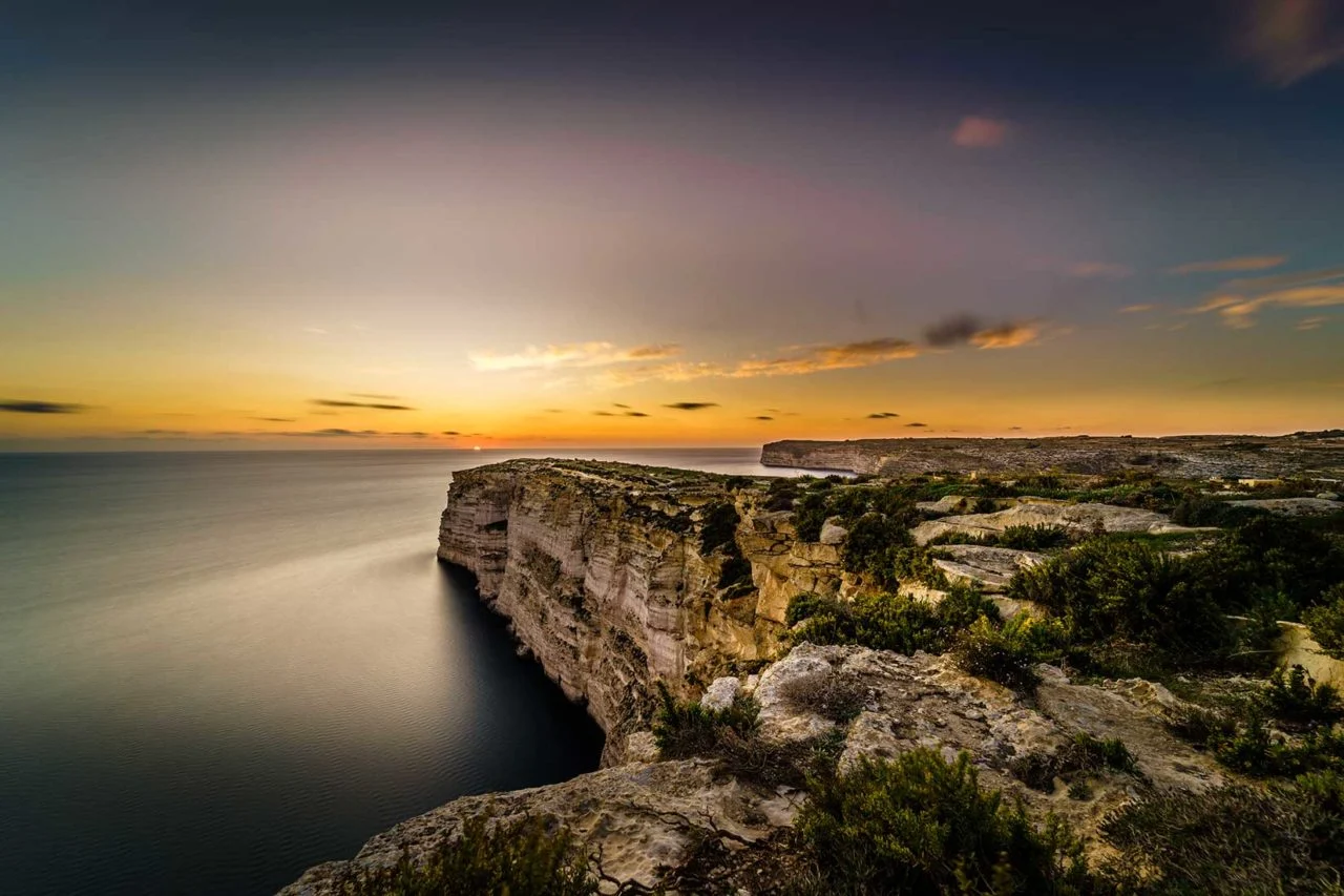
Walking is one of the best ways to understand Gozo. Roads slip into old lanes, valleys open towards the sea, and village domes remain on the horizon long after the houses disappear. The island is compact, but its hills, limestone paths and exposed coast mean that even a modest distance can feel like a proper journey.
When to walk in Gozo
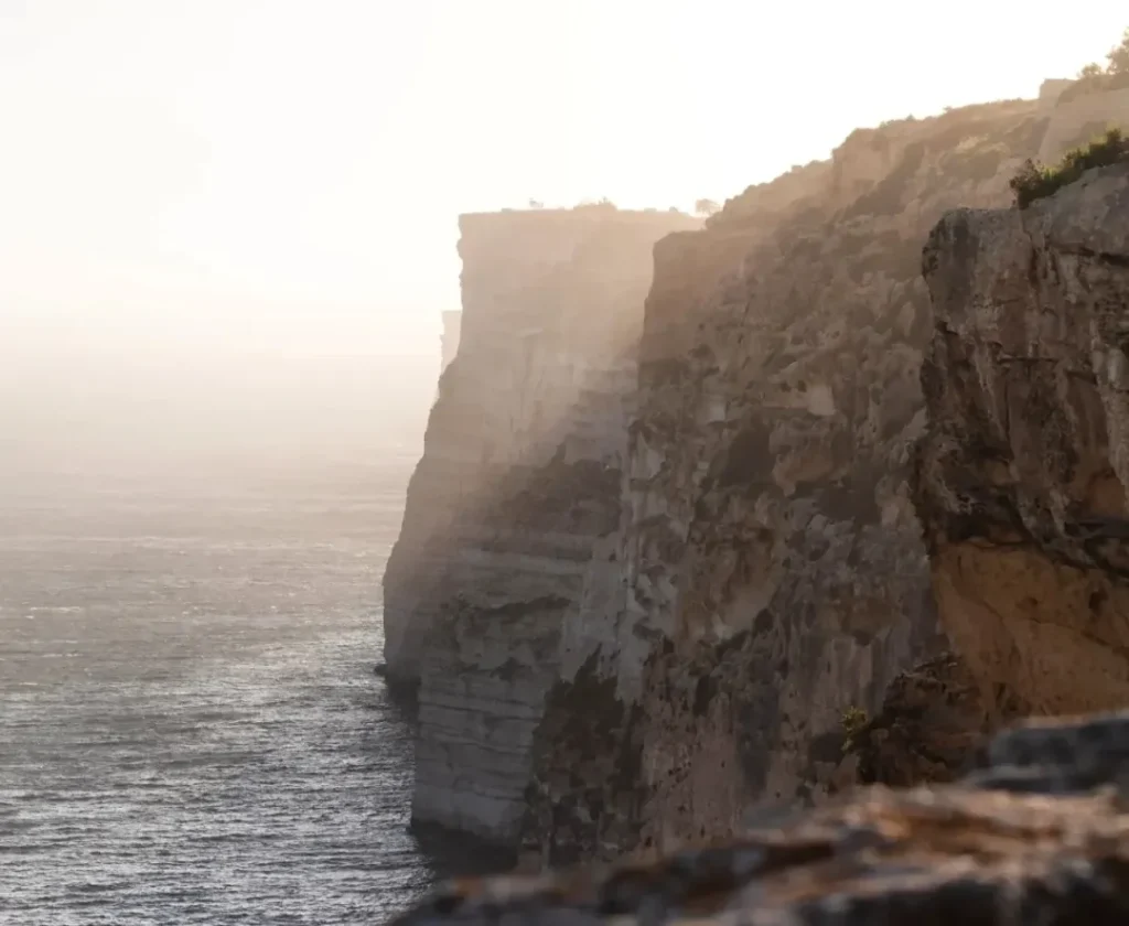
The most comfortable walking season is generally October to May, when temperatures are cooler and the countryside is at its greenest. Spring brings wildflowers; autumn offers warm seas and softer light. Summer walking is possible, but exposed routes can become intensely hot and shade is scarce. Start very early, shorten the distance and carry more water than you expect to need.
Recommended walks at a glance
| Walk | Distance | Character | Useful transport |
|---|---|---|---|
| Marsalforn to Ramla | About 8 km | Moderate; valley, Xagħra heritage and red-sand coast | 310 to Marsalforn; return from Ramla on 302 or 322 |
| Ħondoq ir-Rummien circuit | About 10 km | Easy overall, with repeated hills; harbour, Qala and coastal views | Starts and ends at Mġarr ferry terminal; 301 connects the harbour with Victoria |
| Ta’ Ġurdan circuit | About 10 km | Moderate; Għarb, Ta’ Pinu, lighthouse and valleys | 312 between Victoria and Għarb |
| Mġarr to Xlendi | About 12 km | Moderate and partly clifftop; Mġarr ix-Xini, Sannat and Munxar | Start at the ferry; return from Xlendi on 306 or 330 |
| Victoria–Dwejra circuit | About 13 km | Longer western route through countryside and geological scenery | 311 provides a useful connection between Dwejra and Victoria |
| Saltpans walk | About 12 km | Valley and northern coast via Wied il-Għasri, Xwejni and Qbajjar | 310 serves Marsalforn, Qbajjar and Xwejni; 308 serves Għasri |
| Xagħra heritage trail | Flexible short route | Village walking with Ġgantija, Ta’ Kola Windmill and viewpoints | 307 from Victoria |
Walking and transport note: Routes can be affected by erosion, construction, hunting activity, temporary closures and weather. Bus services and stopping patterns may also change. Use a current route map, confirm buses with the official Malta Public Transport timetable or Tallinja app, respect private land and signs, and turn back if the path becomes unsafe or unclear.
Marsalforn to Ramla: coast, valley and Xagħra
This rewarding point-to-point walk begins beside the sea at Marsalforn, follows the valley inland and climbs towards Xagħra before descending to Ramla. It combines rural Gozo with some of the island’s most important heritage. In Xagħra, the route can be extended to include Ta’ Kola Windmill, Ġgantija Temples or the village square.
The final approach to Ramla delivers a satisfying change of landscape as cultivated fields give way to the broad red beach. Because the walk has public transport at both ends, it is one of the easiest longer routes to organise without a car.
Ħondoq ir-Rummien: an eastern Gozo circuit
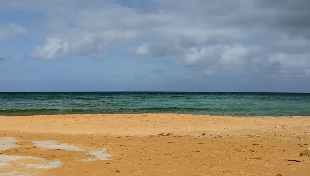
Starting at Mġarr Harbour, this circular route climbs through Għajnsielem, Qala and Nadur, with wide views towards Comino and Malta. Ħondoq ir-Rummien provides the natural pause: a compact bay where a swim may be tempting in suitable weather.
The walking is mainly on established roads and paths, but “easy” should not be mistaken for flat. The eastern villages sit above the coast, so the route repeatedly gains and loses height. The reward is a walk rich in changing viewpoints and village life, ending conveniently back at the ferry.
Ta’ Ġurdan: lighthouse, sanctuary and western valleys
The Ta’ Ġurdan circuit begins and ends in Għarb. It threads through open countryside towards St Dimitri Chapel, Wied il-Mielaħ, Wied il-Għasri, Ta’ Ġurdan Lighthouse and Ta’ Pinu Sanctuary. Few routes offer such a complete cross-section of western Gozo in roughly ten kilometres.
Expect some steep inclines and rocky ground. The lighthouse hill is a natural high point, both literally and visually, while the final paths near Ta’ Pinu bring the walk back into a cultivated landscape of fields and farm tracks.
Mġarr to Xlendi: Gozo’s great south-coast walk
This point-to-point route links Gozo’s ferry harbour with Xlendi by way of Xatt l-Aħmar, Mġarr ix-Xini, Sannat, the Ta’ Ċenċ and Sanap area, and Munxar. It is one of the island’s most varied walks: sheltered inlets, rough limestone, high coastal views and quiet village streets all appear within a single day.
Some sections run near cliffs, and the route is not suitable for careless shortcuts. Keep to established paths, allow time for navigation and avoid exposed edges in strong wind. Finishing in Xlendi gives the day an appealing conclusion, with food, swimming in calm conditions and regular buses back to Victoria.
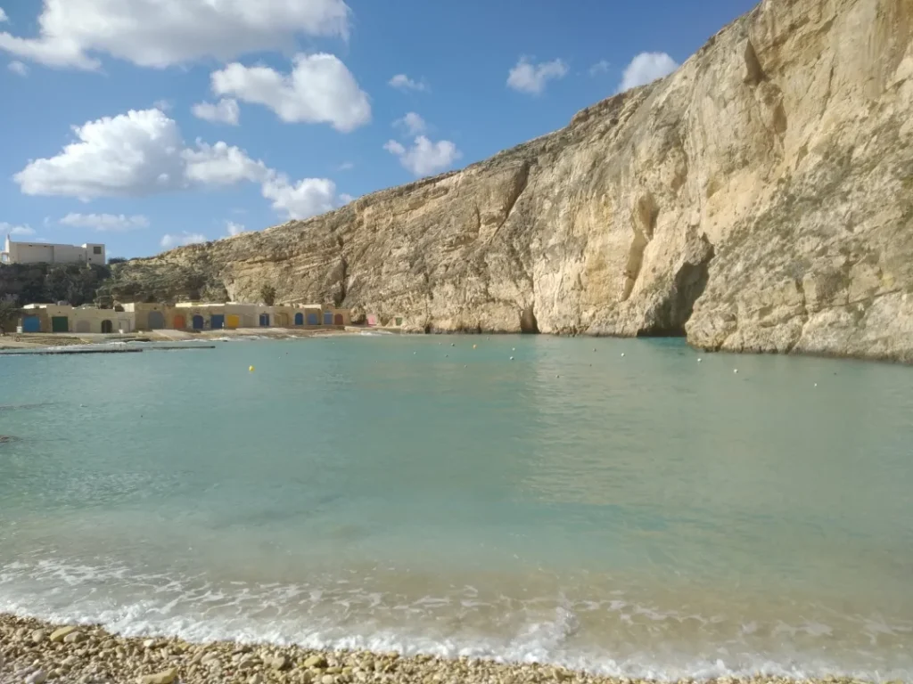
Victoria to Dwejra: across western Gozo
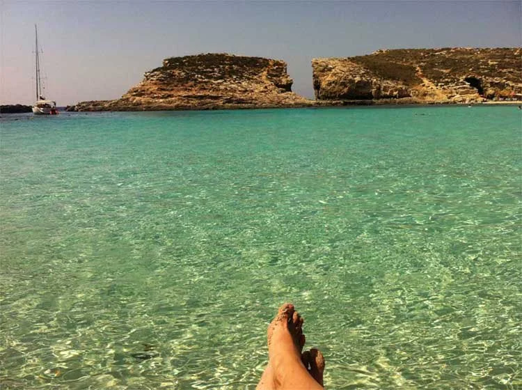
The Dwejra route makes a substantial day walk from the island capital into the western countryside. Lunzjata Valley, Kerċem, rural lanes and the distinctive geology around Dwejra create a gradual transition from town to open coast.
If thirteen kilometres plus sightseeing feels too ambitious, the 311 bus is useful for shortening the day or returning from Dwejra. Do not underestimate the time needed at the coast: the Inland Sea, Fungus Rock and surrounding paths encourage frequent stops.
The Saltpans route: Gozo’s northern edge
This longer circuit leads from Victoria through the Sara Valley towards Wied il-Għasri, then follows the northern coast past the salt pans, Xwejni and Qbajjar. The landscape is lower and more open than the southern cliffs, with sea on one side and terraced fields on the other.
The exposed coast offers little shade, but several bus stops around Qbajjar and Marsalforn make it possible to finish early. Avoid walking on working salt pans and respect barriers, equipment and private areas.
Shorter village walks
Not every outing needs to be a full-day hike. Xagħra offers an excellent self-guided heritage walk between the square, Ta’ Kola Windmill, Ġgantija and surrounding viewpoints. Għarb and Għasri reward unhurried loops through old lanes and fields, while Victoria combines the Citadel, old streets and Lunzjata Valley within a compact half day.
These shorter walks are good choices when the weather is uncertain or when you want cafés, churches and museums close at hand. They also make it easier to abandon the route without difficulty if conditions change.
What to carry
- Proper walking shoes with grip; polished limestone can be slippery.
- Enough water, especially on exposed coastal routes.
- Sun protection in every season.
- An offline map or downloaded route guide.
- A charged phone and the day’s return-bus information.
- A light layer outside summer; coastal wind can make conditions feel cooler.
Walk slowly and leave room for discovery
Gozo’s distances look small on a map, but the pleasure lies in not rushing them. A ten-kilometre route can easily become a full day once you stop at a village square, look into a chapel, descend to a bay or wait for evening light on the cliffs. Plan carefully, then allow the island to interrupt the plan.
Route information checked against Visit Gozo walking guides in July 2026. Distances, paths, access and transport can change; consult a current route guide before setting out.
Plan with confidence
Frequently asked questions
What is the best season for walking in Gozo?
October to May generally offers cooler conditions and greener countryside. Summer walks should begin very early, use shorter routes and include more drinking water because exposed limestone paths can become intensely hot.
Are Gozo’s walking routes difficult?
Difficulty varies considerably. Hills, loose limestone, cliff exposure and limited shade can make a short route more demanding than its distance suggests. Match the walk to your experience and turn back when conditions deteriorate.
Can I use buses for one-way walks?
Yes. Many walks can begin and finish near different bus routes, particularly when Victoria is used as the interchange. Check current schedules and the location of the final stop before committing to a route.
What should I carry on a coastal walk?
Carry adequate water, sun protection, a charged phone, suitable footwear and an offline map. Keep away from cliff edges, avoid exposed routes during strong winds and do not enter valleys when severe rain or flooding is possible.